 |
 |
|
|
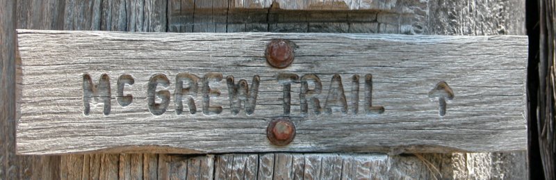
McGrew Trail Trip, June 7 & 8, 2003
| This is a short trip report on a McGrew Trail trip June of 2003. I drove this trail the last two years. The big change was that this year it is "post fire". Last summer Oregon had the worst fire season in many years, if not ever. The McGrew trail runs roughly between O'Brien and the Oregon coast and the fires swept through parts of this area. The end of the trail is a wonderful camp called "Sourdough" and fortunately this was spared. Unfortunately both the landscape and the trail were badly damaged by fire and fire fighting equipment. Last year Mary Jo and I drove this trail with 10 other rigs June 8th. This year we made the trip June 7th with 3 other rigs. |
 |
| The weather was really hot for our drive down on Friday. I believe the temperature was between 95 and 100 in some of the towns on the way. The O'Brien store owners were kind enough to let us camp in their field Friday night. Mary Jo and I left town a little after 10 AM and made many short stops on the way. We met Todd with his Jeep and Eric with his Suzuki in O'Brien. Major & Candy arrived next morning, catching us just as we had started on the trail. |
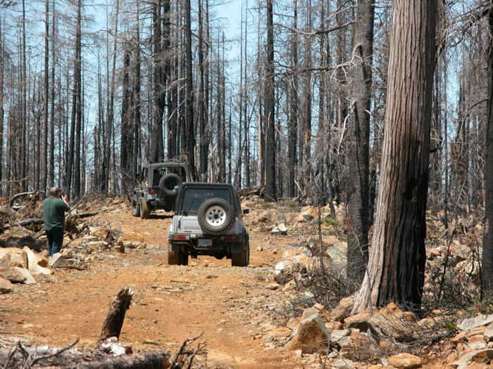 |
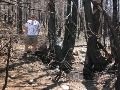
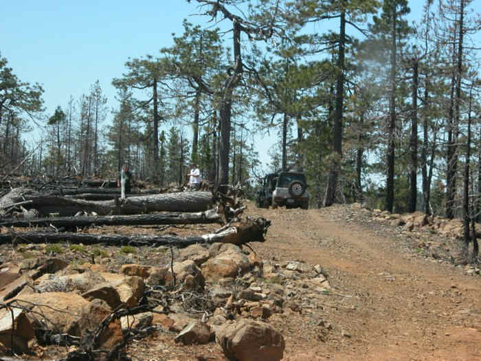
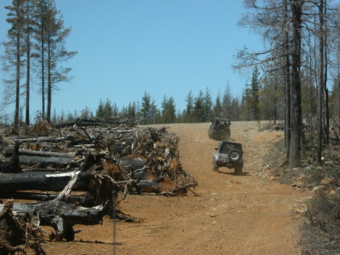
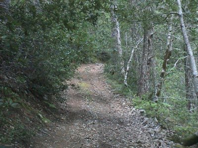
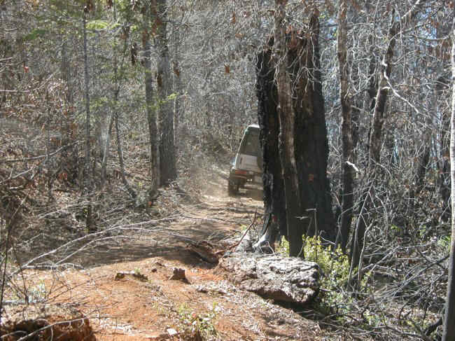
The first few miles of the trail are unchanged, then you
get into partially burned places. I was still optimistic that the damage
wouldn't be too bad.
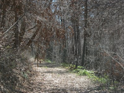
Unfortunately after a bit the old "fun" trail disappears, and you are on a smooth, wide trail with heavily burned trees. |
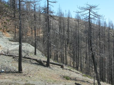
| The landscape is quite unlike previous years. Lots of burned trees. Some still have a bit of green but many do not. | 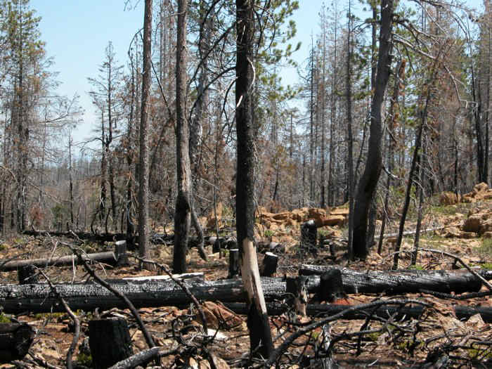 |
 |
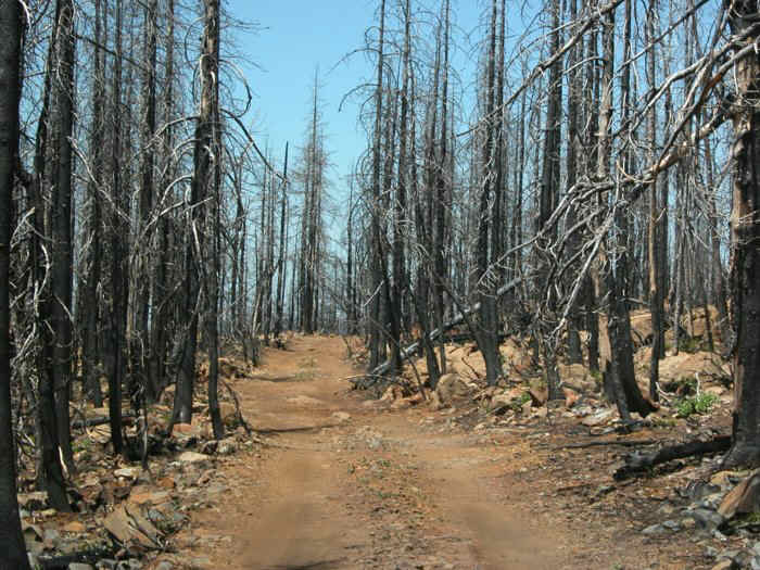
There are miles of bladed road with trees down along the road. |
| In some places the firebreak was quite effective. In many places it was not. | 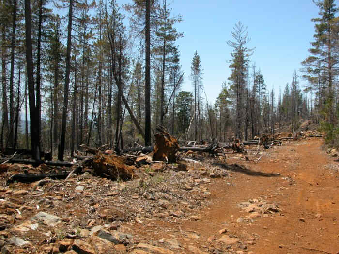 |
 |
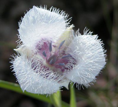
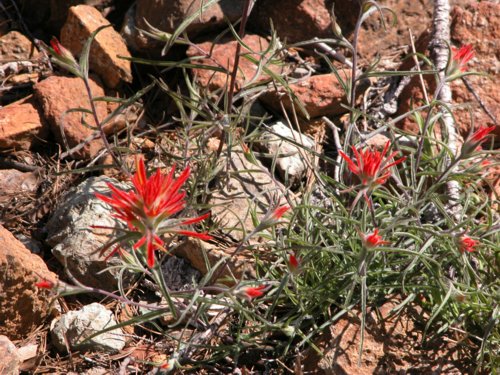
| There are many flowers to be seen. Even though the "big picture" appears to be lots of burned trees, there is still green and colored flowers to be found on a small scale. | 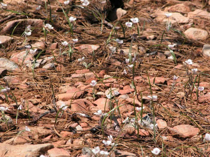 |
 |
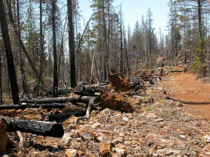
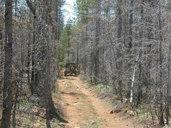
Here is a good example of a wide road where once we had a challenging trail. Note the orderly row of downed trees. |
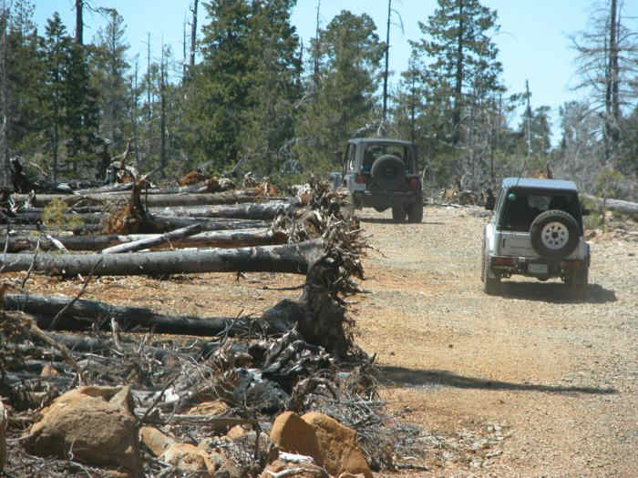
| Eric drives down the road. | 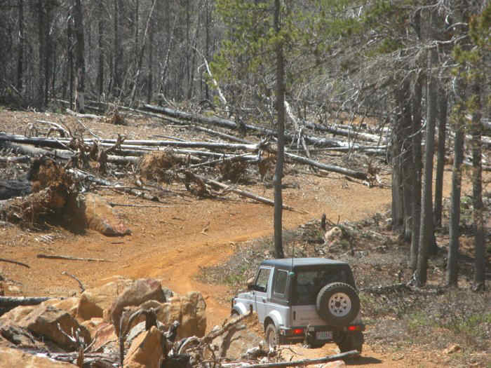 |
 |
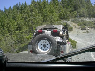
Todd and Eric head up the new freeway. |
 |
 |
|
 |
 |
 |
This was an interesting stretch of road. The road was lined with small dead trees. |
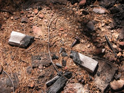
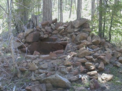
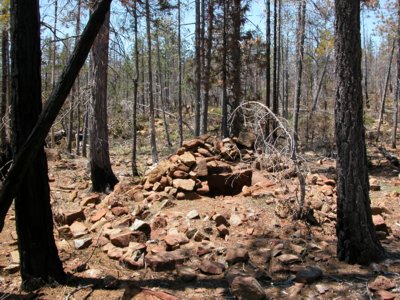
| This is the "ruins" along the trail - remains of some old structure and pieces of an old stove. The view from 2002 on the left and 2003 on the right. |
 |
 |
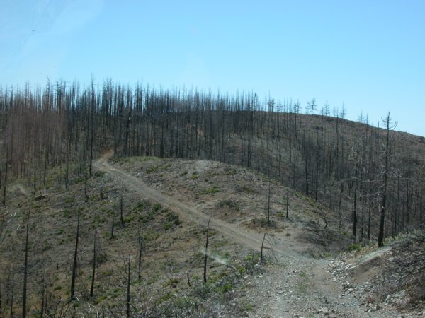 |
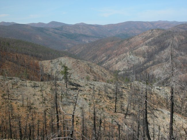
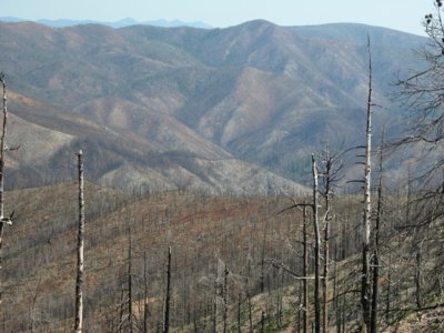
A burned hillside. This is the view for much of the area.
|
| Below is a section of trail near Sourdough. From 2002 on the left and 2003 on the right. Lots of brown, dry leaves now. |
 |
 |
 |
 |
| Lots of color in the flowers this time of year.
|
 |
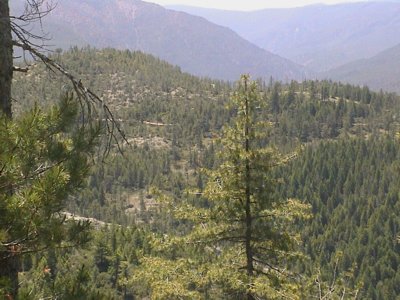
| Below, two views of the hills near Sourdough. 2002 on the left and 2003 on the right. |
 |
 |
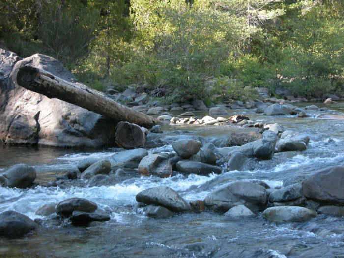 |
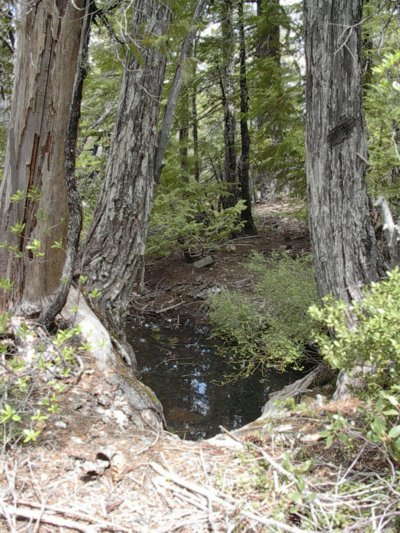
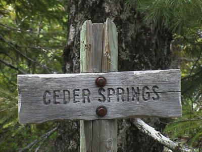
The stream is as nice as ever. Fortunately the Sourdough camping area was passed over by the fire. |
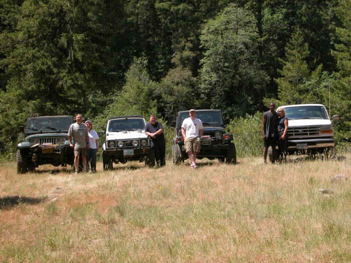
| Left to right:
Dale, Mary Jo, Eric, Todd, Major, Candy. |
 |
 |
 |
| This is the hillside just outside of the Sourdough campground. This is where the road splits between McGrew trail and the forest service road back to town. 2002 on the left and 2003 on the right. The Forest Service road used to be an easy trail. Now the first half is quite rough, torn up by equipment last summer. |