Day 7 - Yakima, Washington to Arch Cape, Oregon
July 25 - 282 miles
My plan was to take Highway 12 between Yakima and Interstate 5, then south
on Interstate 5 to Longview, cross into Oregon, then West on 30 to Astoria
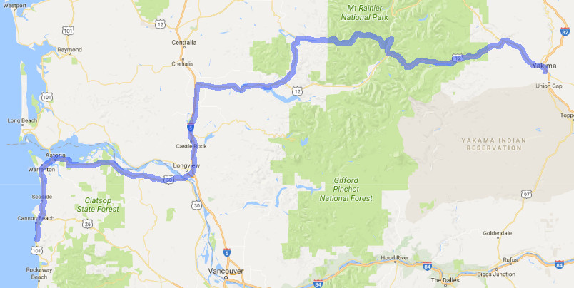
then 30 miles down the coast and home. Yakima is a dry place, but if you add
water you can grow fruit with the many packing plants evidence of this.
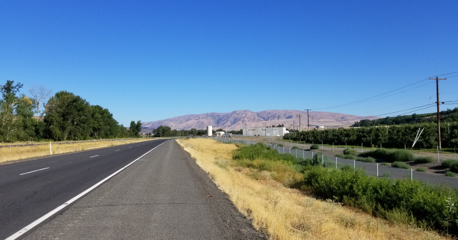
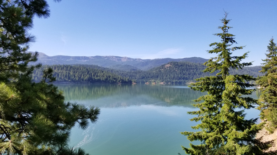
Rimrock Lake, about 40 miles west of Yakima.
I stopped at the White Pass ski area and sent a note to a friend that I was
at the White Pass ski area, elevation 4500 feet. He replied that he lived in
a valley having a higher elevation. He also pointed out that I was not far
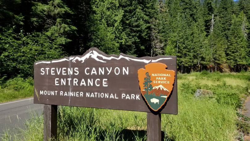
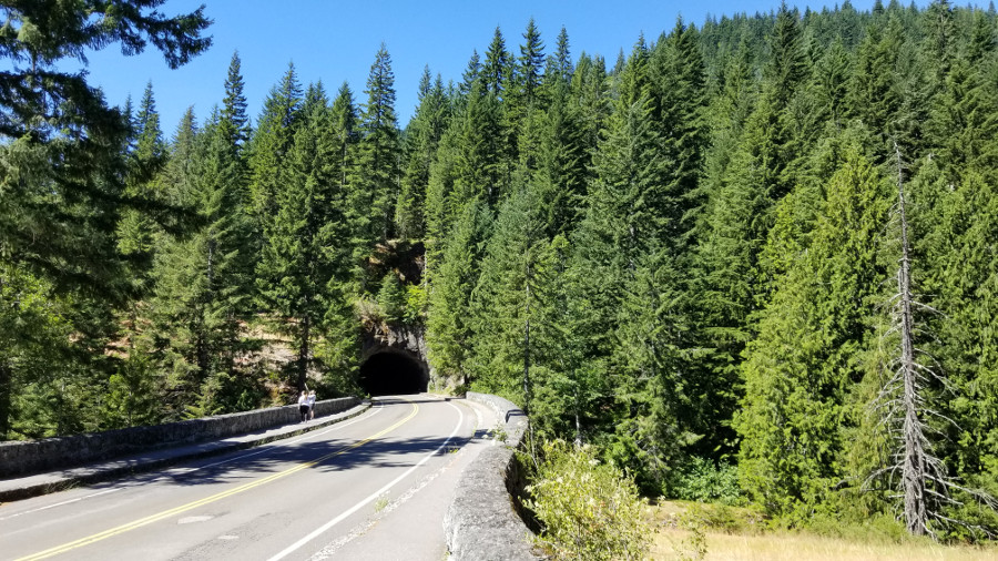
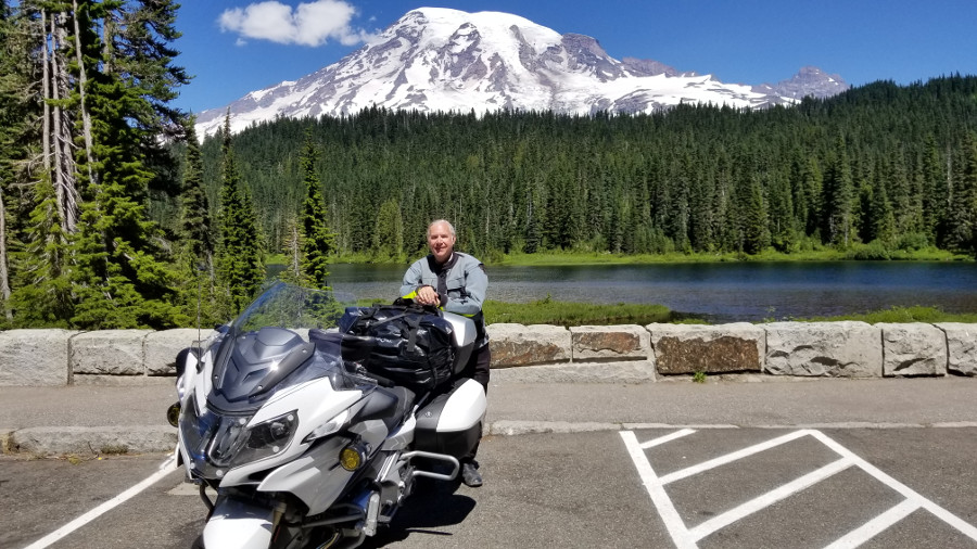
from Stevens Canyon, a great motorcycle road. The next viewpoint had a map
pointing the way to Stevens Canyon. So I decided on a detour through Mount
Rainier National Park.
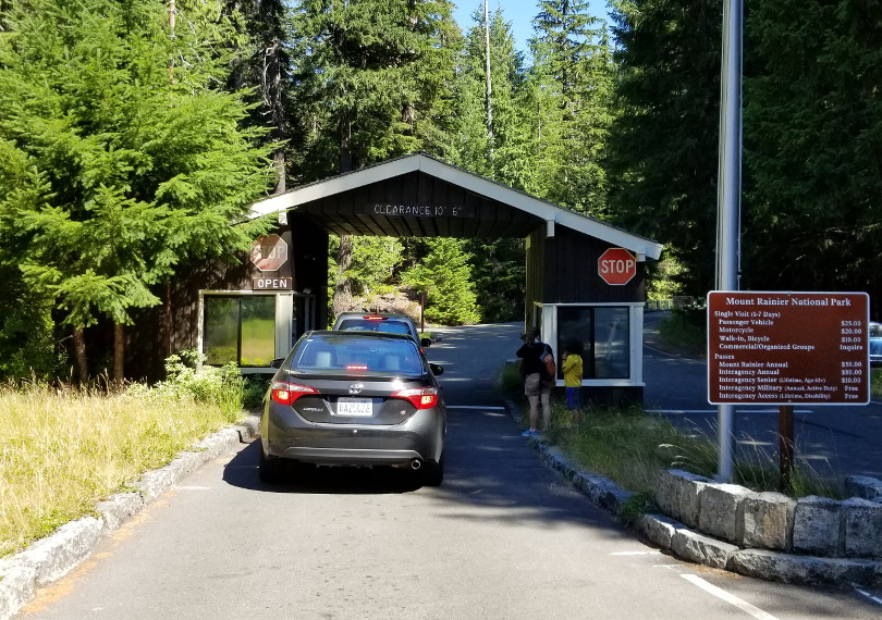
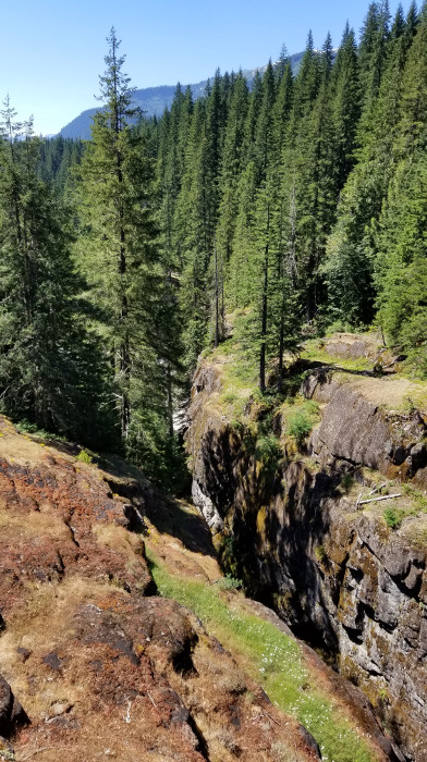
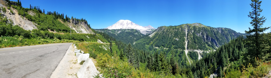
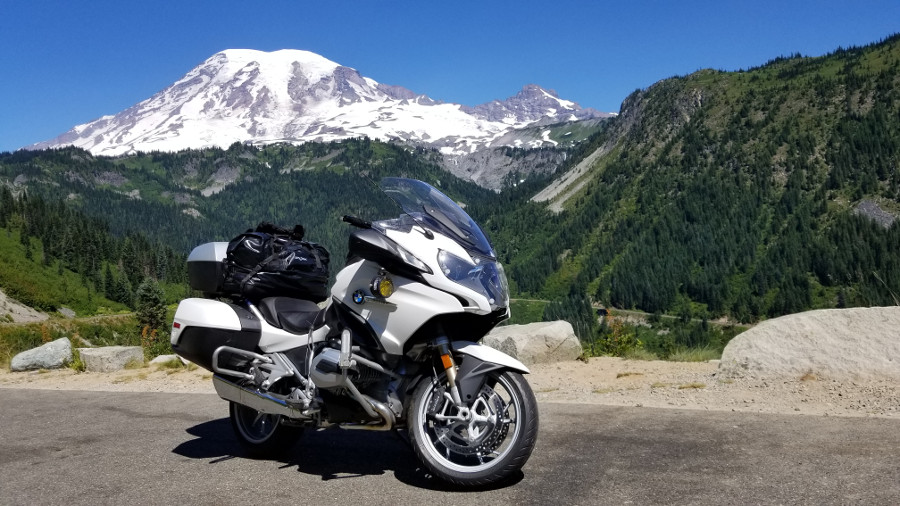
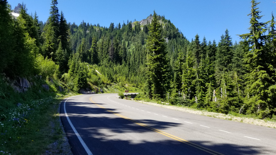
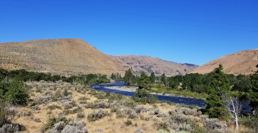
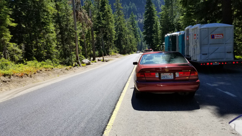
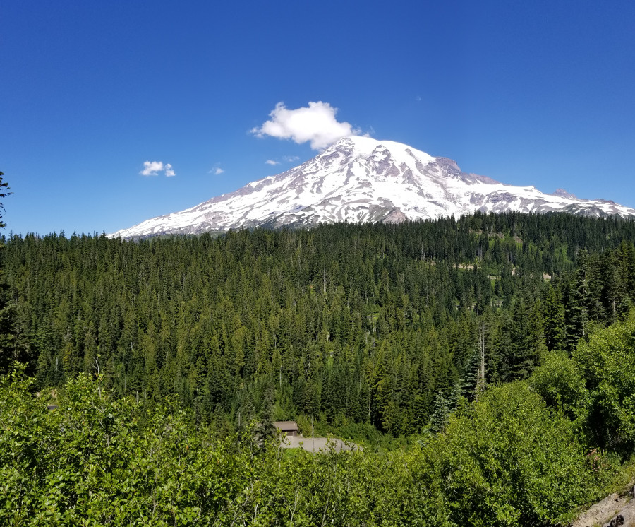
The views were beautiful. There were quite a few delays on the road for
paving projects.
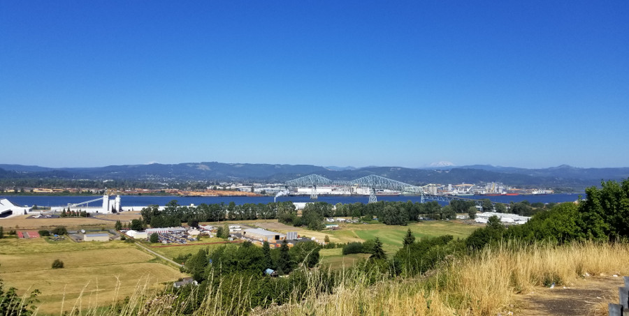
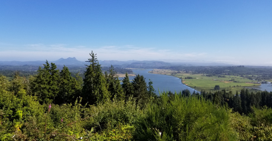
Longview, Washington viewed from the Oregon side of the Columbia.
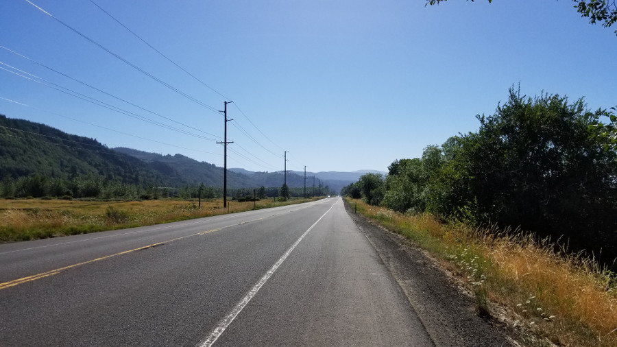
Highway 30, just west of Clatskanie.
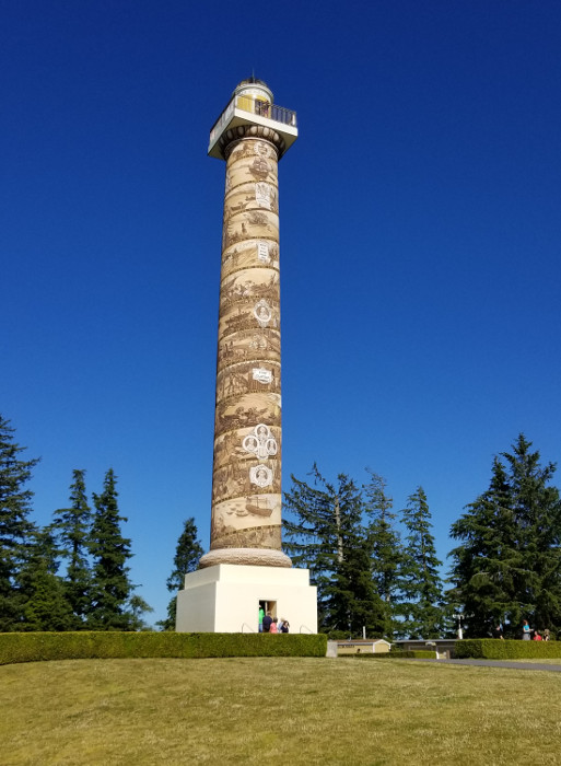
The Astoria Column, on Coxcomb Hill in Astoria, Oregon.
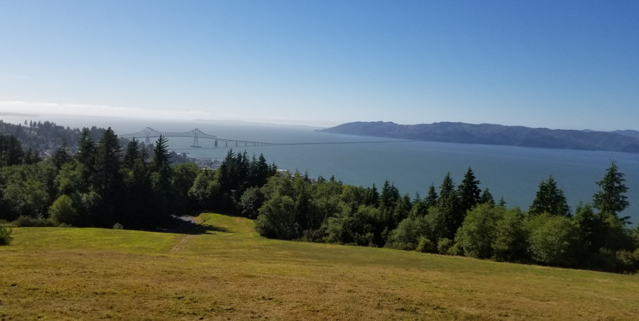
The Astoria-Megler Bridge seen from Coxcomb Hill. The bridge is 4.1 miles
long and is the longest continuous truss bridge in the North America.
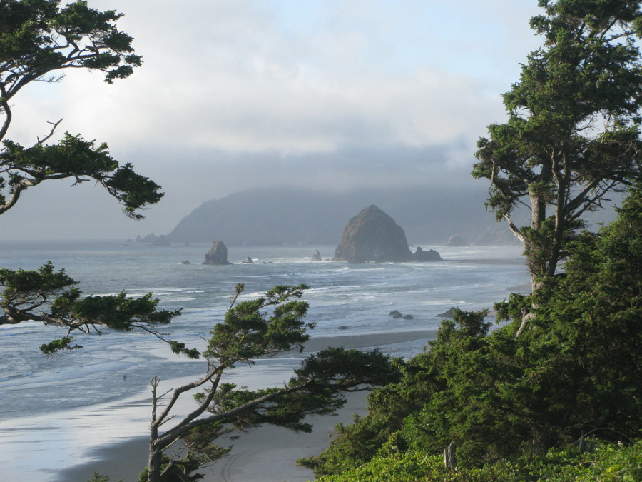
As I headed south from Astoria I encountered some coastal fog. This is
common when it is hot inland. This was the first cool part of the ride but
no complaints after all those hot miles. A view of Haystack Rock in Cannon
Beach, Oregon.
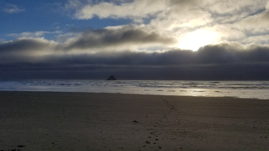
Home again after 2101 miles on the road. The roar of the ocean seemed
exceptionally loud after not hearing it for a week. A quick walk to the
beach and then time to relax for a bit.
Back to trip overview.