Loop through Glacier National Park
Day 4 - July 22 - 244 miles
This was the shortest day for mileage but a long day due to the number of
picture stops. I knew that having my park visit on a weekend was not ideal
for avoiding crowds in the park but that is the way the trip worked out.
The person at the front desk the night before advised starting as early as
possible so I got up early. I "lost" and hour due to the time change going
east so this was extra early. All I could eat was a yogurt and half a
doughnut, just too early for anything more. I grabbed an apple and a
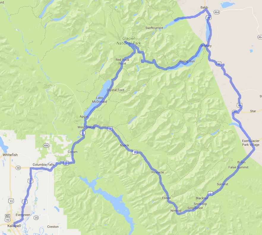
banana, tossed them in my top case and was off. From Kalispell I took
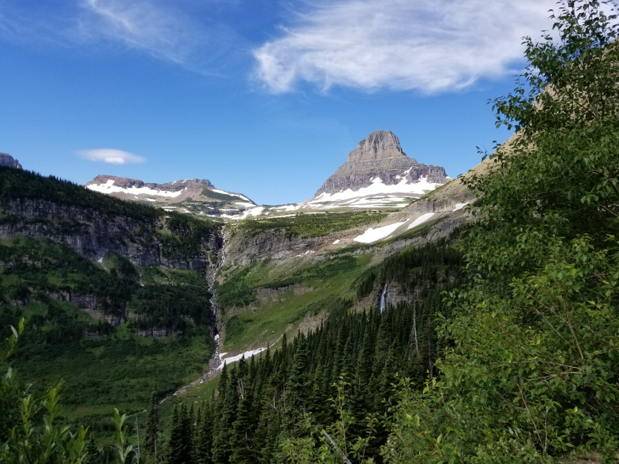
highway 2 north and then Going to the Sun road west to east across the
park. Traffic was not bad when I first arrived but I could see it picking
up as the morning progressed.
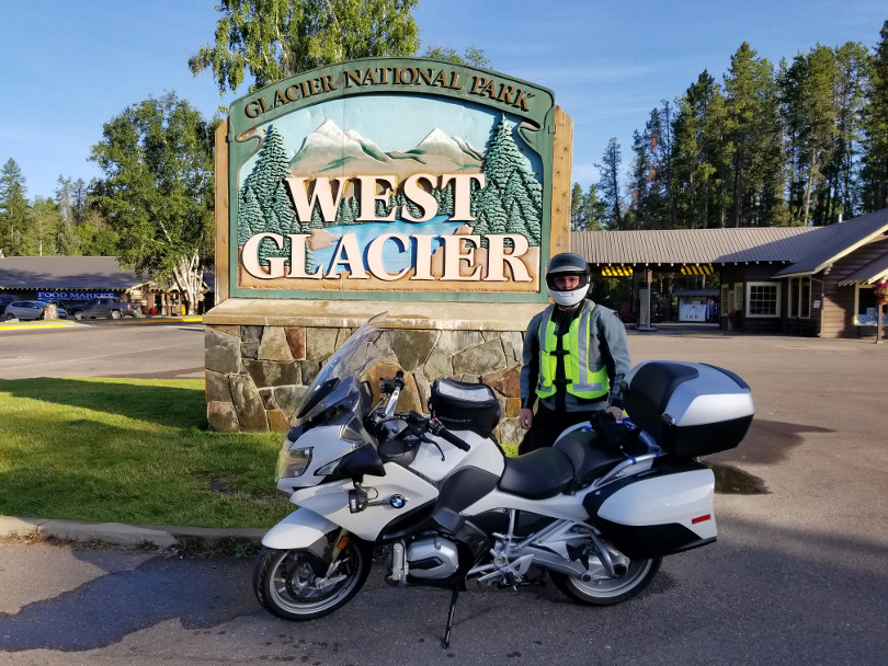
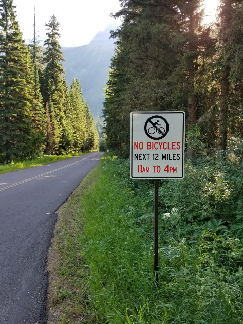
The road is narrow with some designated pull outs and small parking
areas. Where there are not pull outs the road is too narrow for two cars
and a bicycle at the same time. Once the road becomes crowded it would be
very difficult for cars to find a way to pull over for a bicycle so no
bikes during the busy part of the day.
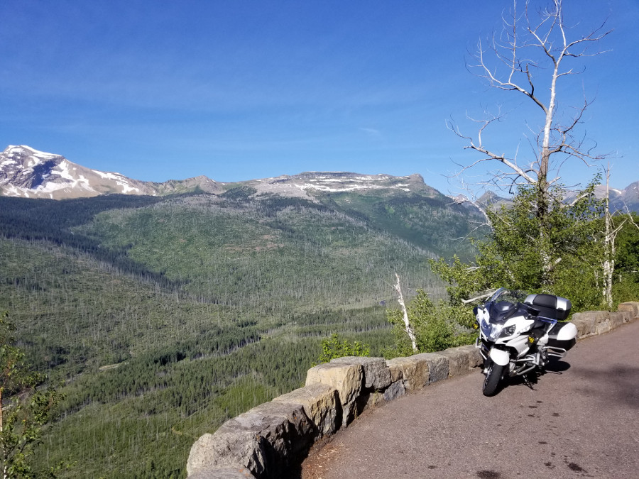
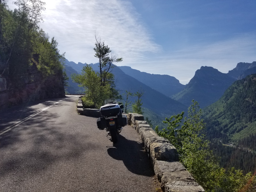
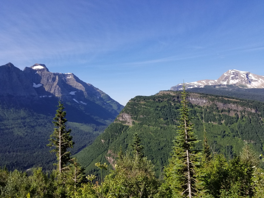
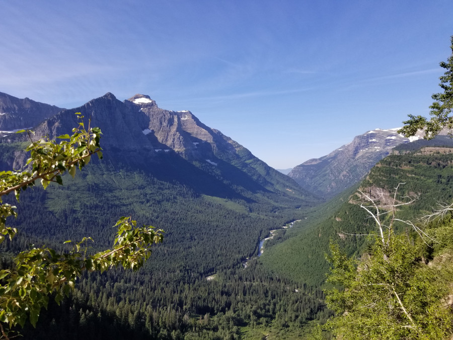
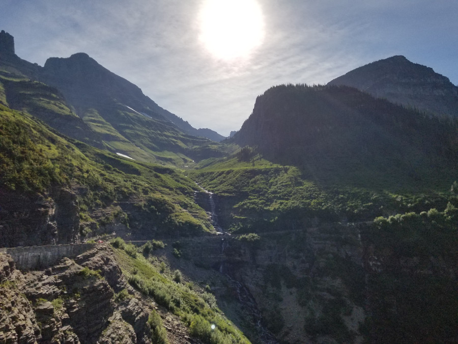
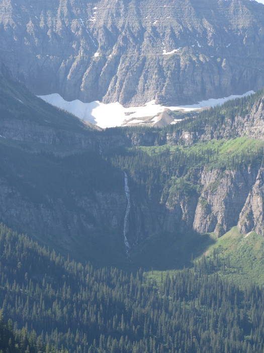
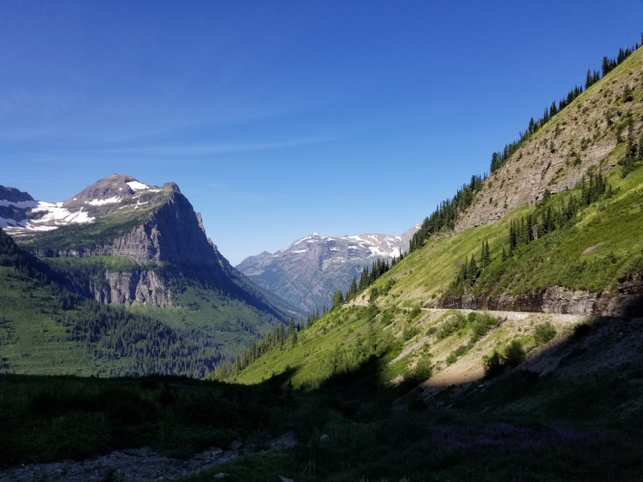
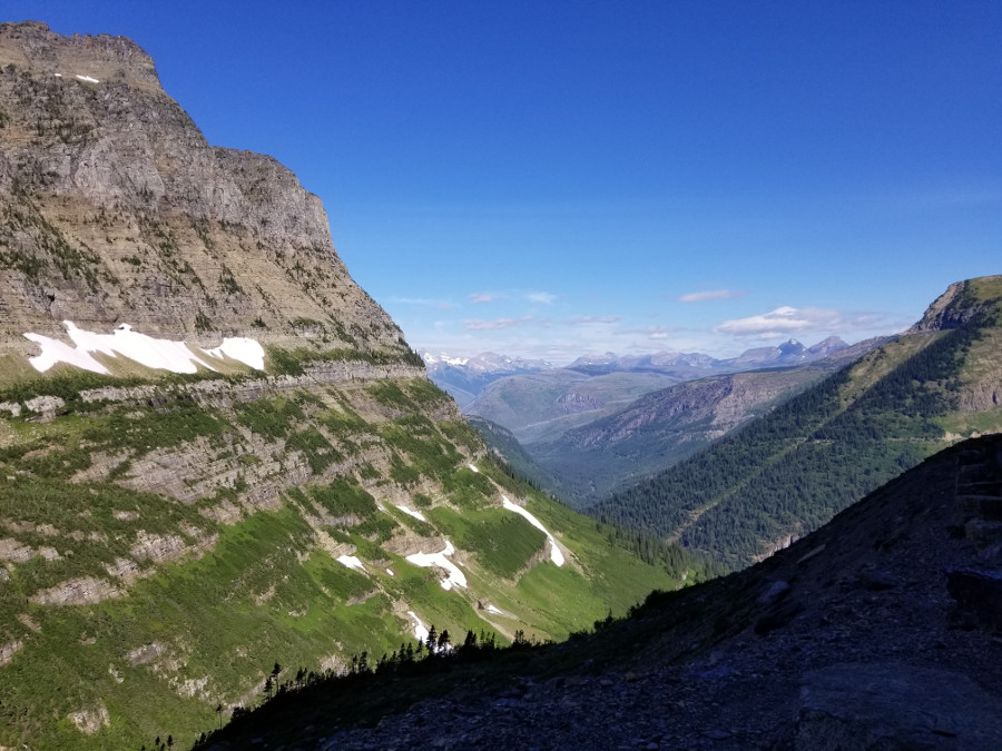
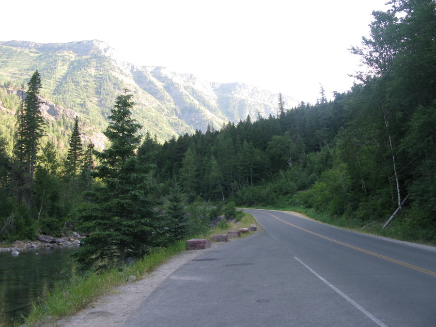
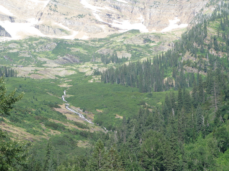
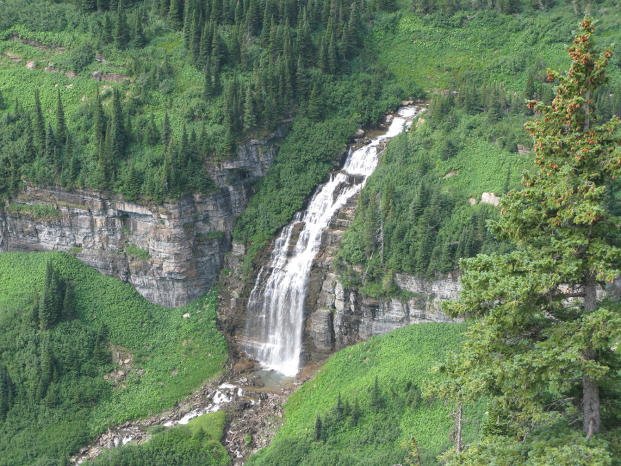
I took my time on this ride enjoying the view and making many photo stops. I
finally arrived at Logan Pass and before I got to the visitor center and
parking lot I found cars parking on the road side wherever they could
squeeze in. Just before the visitor center there was a "lot full" sign. I
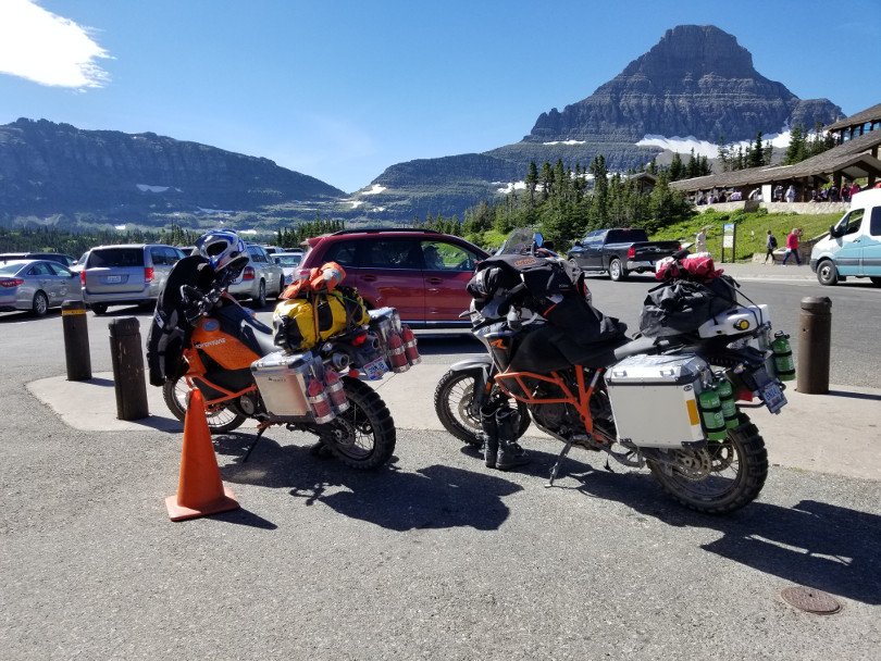
figured I would at least make a loop through the lot and was pleasantly
surprised to see that the park service had provided quite a bit of
motorcycle only parking at what would otherwise be unused space at the ends
of the rows of cars. I parked and ate the apple I picked up earlier that
morning.

These two bikes with Ohio plates were out for what looks like quite an
adventure.
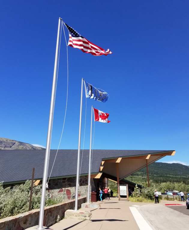
I arrived at the Saint Mary visitor center on the east side of the park and
ate the banana I picked up this morning. I was now down out of the mountains
and the wind was quite strong making the flags stand out straight and
creating a lot of noise as they flapped fiercely in the wind.
I then continued east out of the park and then Highway 89 to the small
town of Babb. Then I headed west to Many Glaciers. This is a dead end road
with a Lodge, camping areas, and pretty views of glaciers. I did not
actually get to see any of that as just a few miles up the road a couple
of park rangers were turning people back unless they were staying at the
lodge or had camping reservations. I was told that there were already 500
cars in this part of the park and only parking for 400 cars so no more
entry was allowed. Something for another trip. I retraced my route on 89
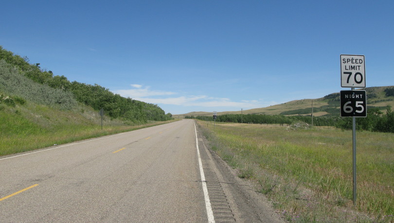
and continued on south. Clear roads with a good speed limit.
I headed west on Highway 2 making a big loop below the park where I would
eventually link back up with the road heading to Kalispell. This was a long
day due to getting up early and the time change. I found myself on some
beautiful roads and getting quite tired. I decided that getting sleepy at 70
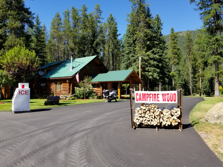
MPH on a windy mountain road was not a good idea so at the next opportunity
I would stop for a drink. I spotted a place selling campfire wood and ice so
pulled in to see if they also offered soft drinks. I found that they did not
so asked if I could just park and sit in the shade long enough to have some
water and a snack. The folks that live here were very nice and not only let
me stop but also gave me a Gatorade and visited with me. They would not let
me pay them for that, just saying "pay it forward". If I make a trip back
there I will have to think of a nice gift representing Oregon and drop it
off.
Link to next day, July 23.
Back to trip overview.