I started this ride in Arch Cape, Oregon under cloudy skies but happily dry ground. From the weather forecast I knew that I would be seeing sun before too long. My only real challenge for the trip was the inevitable congestion where highway 26 entered Portland, became a short stretch of 405, and then fed to I-84 in Portland heading east. Sitting stopped in heavy freeway traffic on a motorcycle is no fun and something hard to avoid in this area. Even though I hit this area a bit before noon and avoided peak commute times there was still stop and go traffic where 26 headed into the tunnel and again where 405 fed into I-84. I was happy that I did not have to deal with this area during rush hour when traffic would have been far worse. Fortunately I did not have to get very far out on I-84 before traffic was moving at a steady pace again. The rest of the trip had been planned so that I should be on some less congested roads.
Interstate 84 carries you about two thirds across Oregon before it dips south eventually taking you into Idaho. This first section heads east following the Columbia River on the Oregon side. On the Washington side of the Columbia is Highway 14. Interstate 84 is four lane and once out of Portland has a 70 mile per hour speed limit. Highway 14 is two lane and not until you get a fair bit east does traffic thin enough that passing is easy and speed picks up. Unless the goal is just to cover ground fast I prefer the ride on the Washington side.
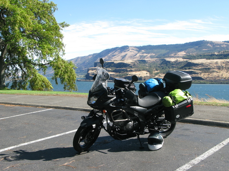
I crossed over the Columbia River at the Bridge of the Gods at Cascade Locks. This is a toll bridge charging motorcycles one dollar. I don't know what the fee is for cars as I can't recall the last time I crossed on anything other than a motorcycle. I stopped for lunch at a Subway sandwich shop in Stevenson, Washington. By the time I stopped the sky was blue and the day warm. After lunch I continued a bit east stopping at a view point.
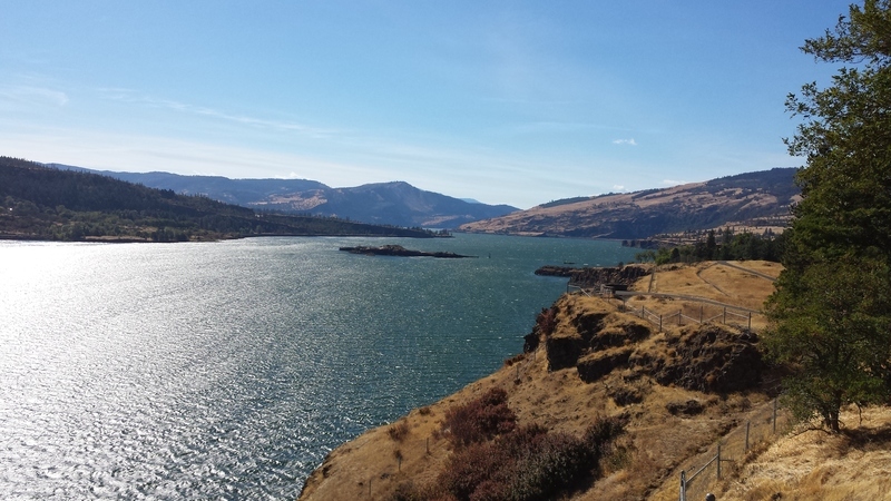
The photo is a bit small to show them clearly but that line of dots on the left bank of the river is a very long train. Both sides of the river have train tracks which see fairly heavy use.

A better view of the train.

Looking west toward Portland and Vancouver and the river's eventual end at the Pacific. I would see the Snake River in two days when visiting the Hells Canyon Dam. That water would have a long journey before ending up at this spot.
I had my GPS set to a destination of Heppner so it was complaining about my being in Washington on highway 14 instead of in Oregon on I-84. I crossed over the Columbia at my second opportunity, making a short jaunt on 197 and then heading east on I-84 on the Oregon side of the river. With a 70 MPH speed limit and traffic doing every bit of that I made good time until I came to Arlington and headed south on 19 as my GPS was instructing.
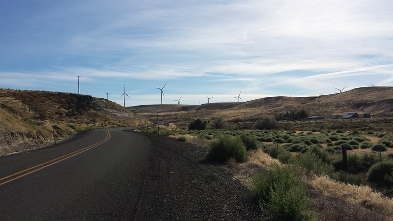
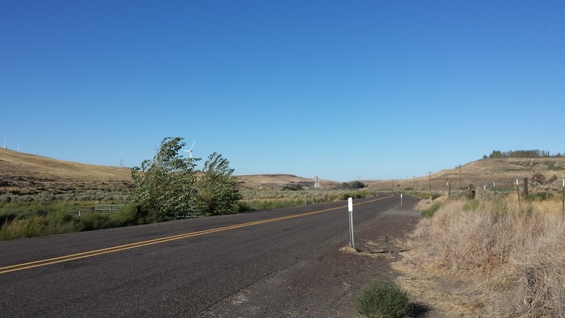
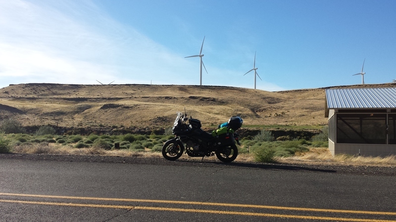
I enjoyed some beautiful roads and great views of wind turbines. I had seen them from my travels along the Columbia but did not realize how far away from the river the wind turbines were located. Eventually I stopped to grab the map and directions I had created for the day's trip. I found that my intent had been to head to Heppner on 74 not 19, trying to take the smaller roads. So it was a bit of backtracking to I-84 and east for another 7 or 8 miles before the turn off on 74.
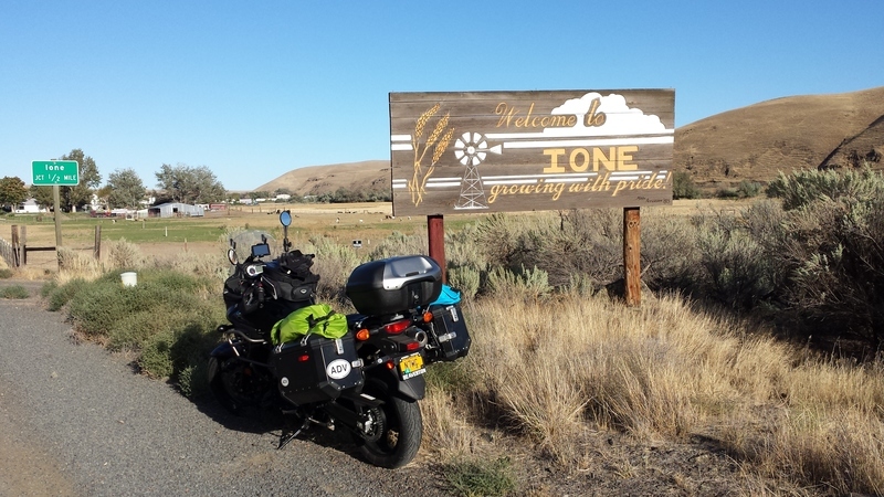
I have relatives in Ione, Washington. I thought that I would grab a photo of the Ione, Oregon sign.
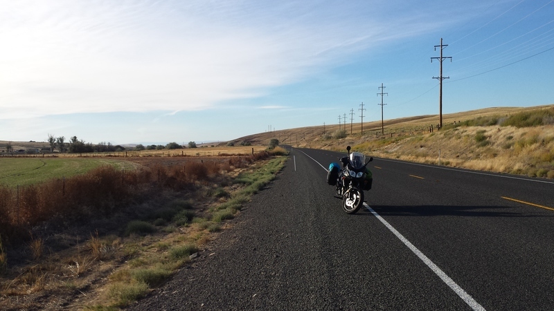
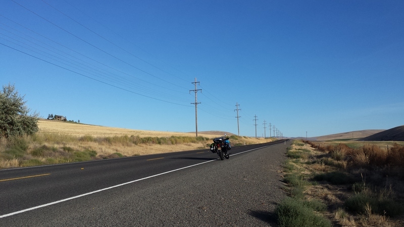
Beautiful roads, great for a motorcycle. No traffic and nice sky.
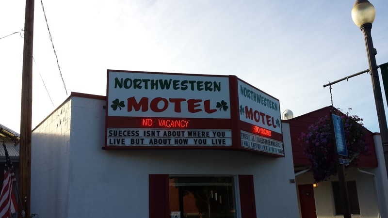
I arrived in Heppner about 5:30. As far as I know this is the only place to stay for many miles in all directions. I was very glad that I had a reservation as I found that the place was full.
| BACK | NEXT |
| Back to trip report page. | September 9 - Heppner to Baker City |