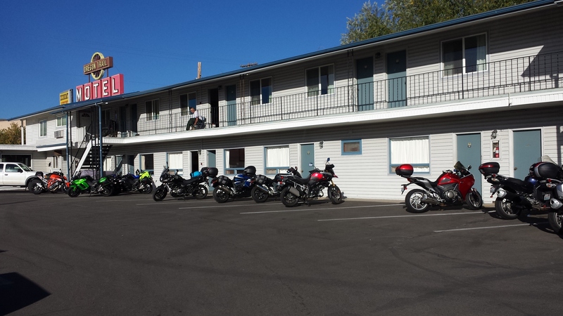
Another sunny morning in Baker City. A bit chilly and promise of cooler temperatures at the 7,100 foot elevation of Anthony Lake, my destination in a little while. First was breakfast at the cafe next to the motel and saying good bye to some of the other riders.
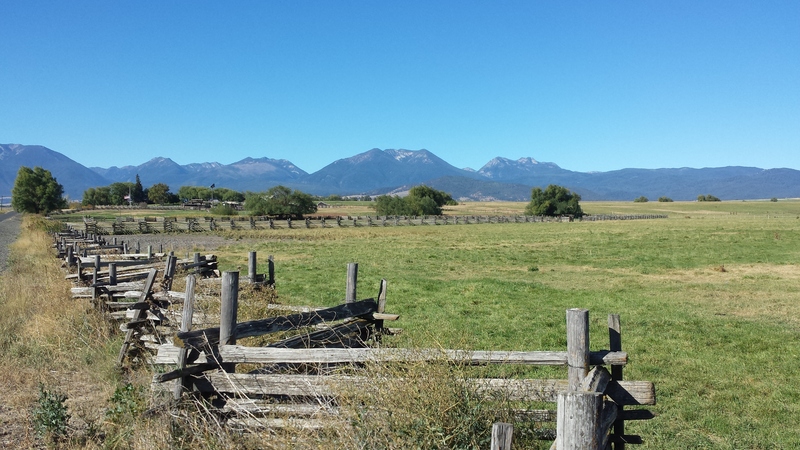
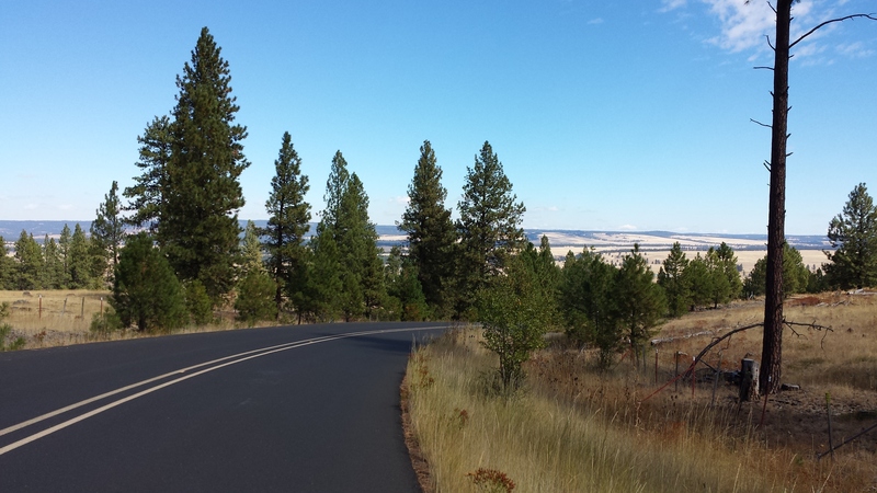
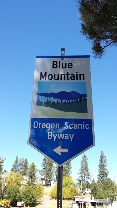
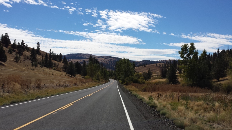
I rode northwest on Highway 30 as far as Haines and then took Rock Creek Road to Anthony Lakes Highway. The road first travels through some beautiful farm country with a great view of the mountains I was soon to climb.
When I started the day's ride I selected Anthony Lakes Ski Area as my GPS destination. Perhaps the GPS needs a map update, I do not know, but soon after my turn off toward the mountains the GPS was urging me to make a U turn.
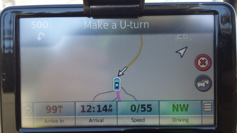
I finally stopped and consulted the maps I had printed before the trip. I was on NFD-73 and my earlier exploring on the computer indicated that this would carry me back to Ukiah with a connection to NF-52. A fellow at the turn out where I was making my map check had his truck parked facing the direction I was heading so I asked him about the road and he confirmed that I was indeed on the way to the ski area. I guess my GPS is not familiar with this road.
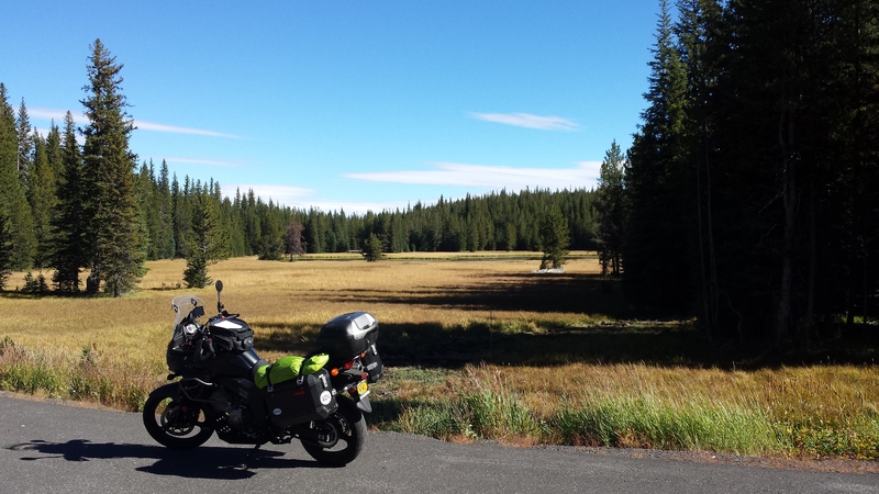
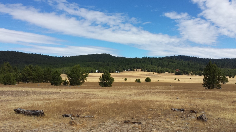
The meadow across from the ski area and what at the time I thought was Anthony lake in the distance. Next trip I will print a more detailed map and check out the lake which was not too far away.
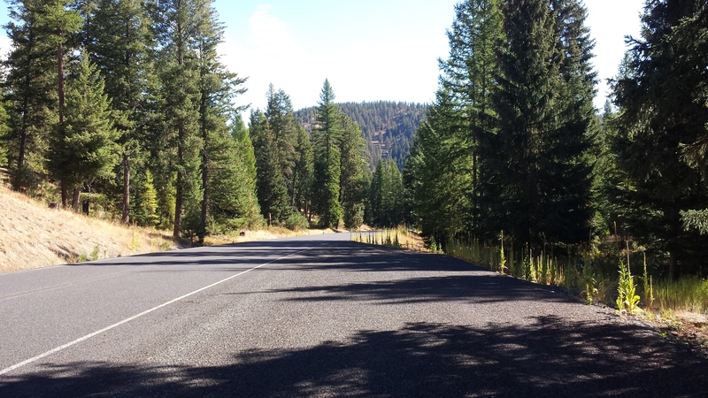
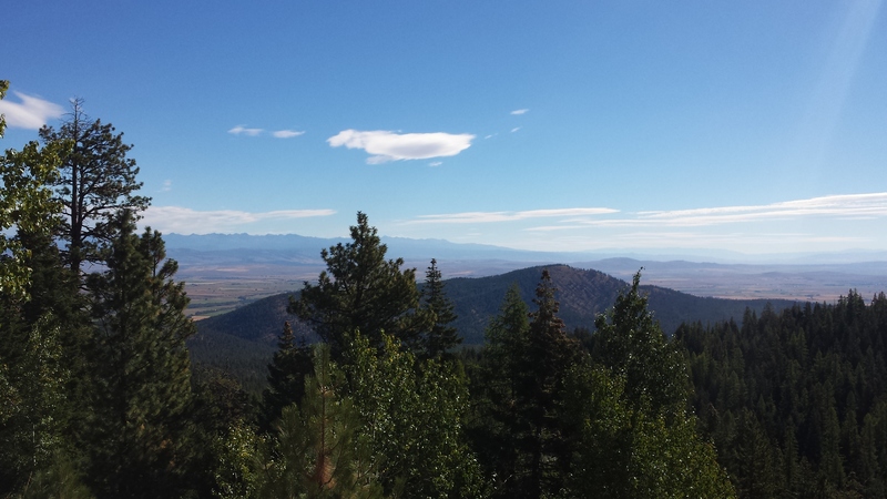
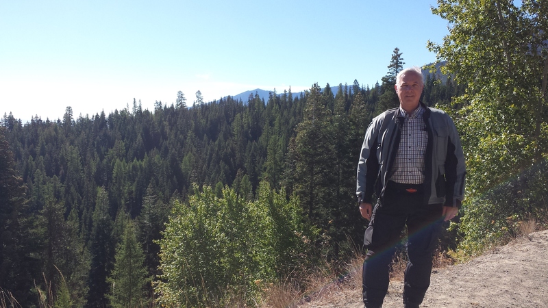
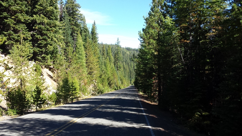
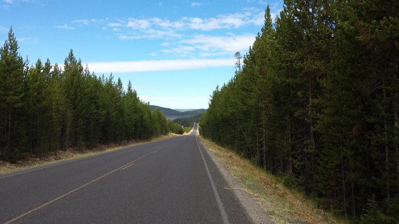
Riding again I was treated to more wonderful roads and views.
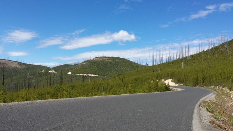
Several times on this trip I rode through areas with standing dead timber killed by fire. Years of fire suppression has allowed the forests to become too dense with a great deal of fuel on the ground. Instead of a fast fire sweeping through every 5 or 10 years that leaves most trees unharmed when fire finally does come trees are killed due to the intensity of the fire fed by all the built up fuel. More of that later in the journey.
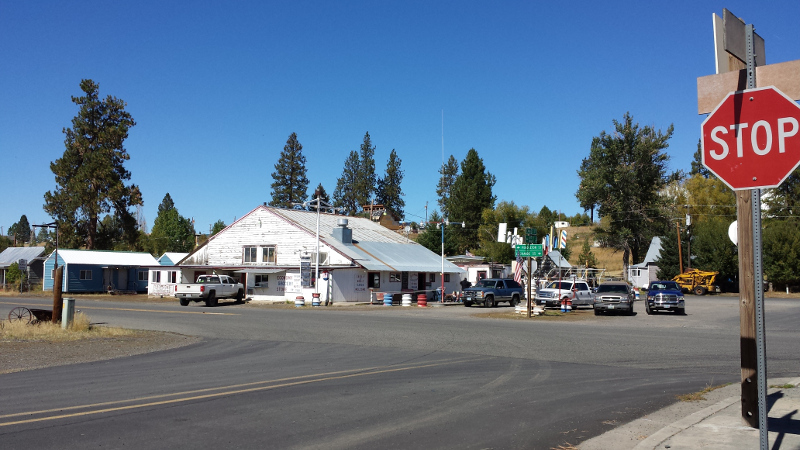
Back in the town of Ukiah. Two days ago I had ridden out of town passing this intersection heading to my right. Now I would turn left, ride the short distance to Highway 395 and turn south.
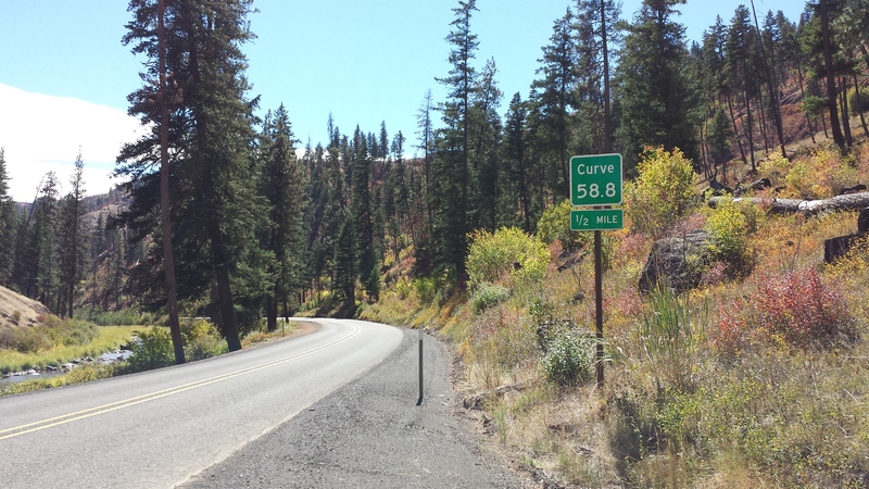
One stretch of road had several of the curves labeled with mile markers showing tenths of a mile. Here is curve 58.8. I have no idea of the reason for marking the curves in this manner.
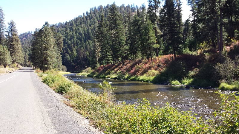
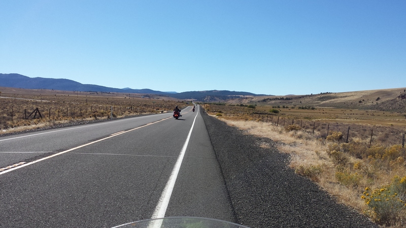
A good portion of 395 follows one stream or another. I suppose due to it having been easier to find a passage in this area at the bottom of valleys rather than mountain tops.
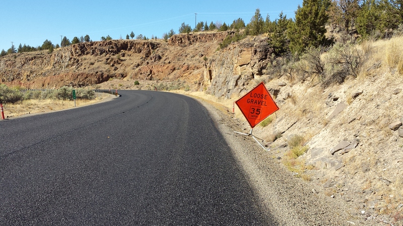
The south end of Highway 395 comes to an end where it meets Highway 26 at the small town of Mt. Vernon. Not far to the east is the town of John Day. To the west, 108 miles away, was Prineville, my destination for the day. But just before coming to the end of 395 I saw a sign telling me of 30 miles of road construction and loose gravel. I turned west on Highway 26 and there it was - 30 miles of fresh pavement not yet a finished road. As long as I kept to a tire track this was not too bad, but it had me being cautious of the gravel down the center and between the tire tracks. By the time I finished 30 miles of this I was feeling tired due to the attention required.
I was happy to see this paving job in progress come to an end. Some clear straight roads eventually appeared and I completed my trip for the day. I spent the night at the Rustler's Inn in the city of Prineville. There was a Mexican restaurant next door making dinner convenient.
| BACK | NEXT |
| September 10 - Baker City to Hells Canyon Dam | September 12 - Prineville to Arch Cape |
Back to September ride report.